1996
TM0333 : Track to Langham Hall
taken 28 years ago, near to Stratford st Mary, Suffolk, England
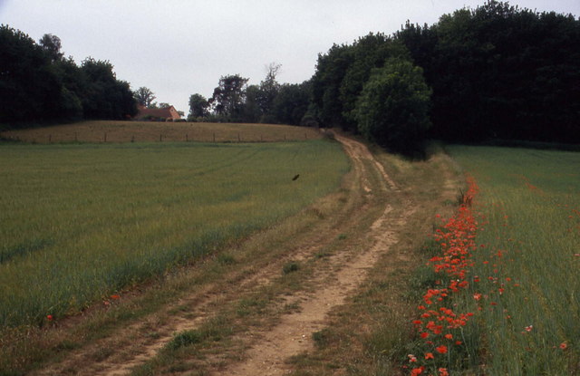
Track to Langham Hall
This track is heading south from Stratford St. Mary, leading to woods that conceal the presence of Langham Hall
Essex Way
One of the first county long distance footpath devised, tracing its history back to 1971.
It was also the first to make an appearance within the county borders of Essex.
The 81 mile trail starts outside the underground station in Epping, passing through Chipping Ongar, Pleshey, White Notley, Coggeshall, Great Horkesley, Dedham and Manningtree to the High Lighthouse in Harwich. It runs through the entire county in a rough south west to north east line.
 Map © Crown Copyright")
TIP: Click the map for more Large scale mapping
- Grid Square
- TM0333, 41 images (more nearby 🔍)
- Photographer
- Chris Heaton (more nearby)
- Date Taken
- Tuesday, 25 June, 1996 (more nearby)
- Submitted
- Sunday, 26 February, 2006
- Subject Location
-
OSGB36:
 TM 035 338 [100m precision]
WGS84: 51:57.9249N 0:57.6496E - Camera Location
-
OSGB36: TM 037 340