2006
SH5910 : Farmland above Gwastadgoed
taken 18 years ago, near to Llwyngwril, Gwynedd, Wales
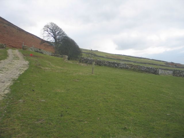
Farmland above Gwastadgoed
Gently sloping fields on the lower slopes of Pen y Garn, just above the A493.
 Map © Crown Copyright")
TIP: Click the map for more Large scale mapping
- Grid Square
- SH5910, 45 images (more nearby 🔍)
- Photographer
- Barry Hunter (more nearby)
- Date Taken
- Sunday, 26 February, 2006 (more nearby)
- Submitted
- Sunday, 26 February, 2006
- Subject Location
-
OSGB36:
 SH 598 105 [100m precision]
WGS84: 52:40.4527N 4:4.4477W - Camera Location
-
OSGB36: SH 598 105
- View Direction
- South-southeast (about 157 degrees)