2006
SJ1049 : Nant y Cwm
taken 18 years ago, near to Llanelidan, Denbighshire/Sir Ddinbych, Wales
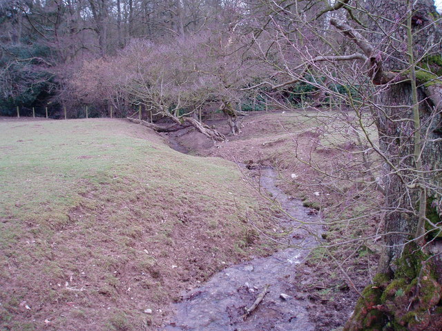
Nant y Cwm
Nant y Cwm going down to Cae Coed, near Llanelidan.
 Map © Crown Copyright")
TIP: Click the map for more Large scale mapping
- Grid Square
- SJ1049, 6 images (more nearby 🔍)
- Photographer
- Eirian Evans (more nearby)
- Date Taken
- Monday, 27 February, 2006 (more nearby)
- Submitted
- Monday, 27 February, 2006
- Subject Location
-
OSGB36:
 SJ 108 490 [100m precision]
WGS84: 53:1.8492N 3:19.8927W