2008
SH6457 : Glyder Fawr
taken 16 years ago, 3 km from Pont Pen-y-Benglog, Conwy, Wales
This is 1 of 2 images, with title Glyder Fawr in this square
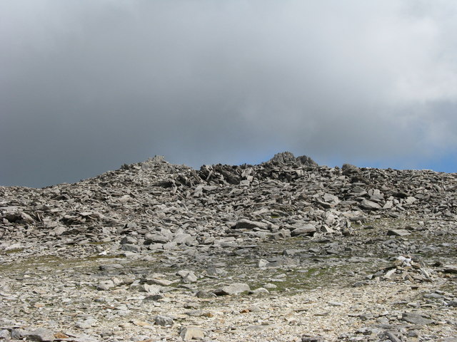
Glyder Fawr
Rock on....and on
 Map © Crown Copyright")
TIP: Click the map for more Large scale mapping
- Grid Square
- SH6457, 38 images (more nearby 🔍)
- Photographer
- Tony Edwards (more nearby)
- Date Taken
- Wednesday, 14 May, 2008 (more nearby)
- Submitted
- Sunday, 10 May, 2009
- Subject Location
-
OSGB36:
 SH 643 578 [100m precision]
WGS84: 53:6.0278N 4:1.6598W - Camera Location
-
OSGB36: SH 640 579
- View Direction
- East-southeast (about 112 degrees)