2002
TQ9841 : Subway under the A28, Great Chart
taken 22 years ago, near to Great Chart, Kent, England
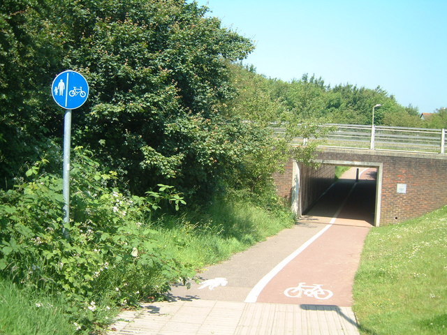
Subway under the A28, Great Chart
A vital link for pedestrians and cyclists between Great Chart and Ashford
 Map © Crown Copyright")
TIP: Click the map for more Large scale mapping
- Grid Square
- TQ9841, 35 images (more nearby 🔍)
- Photographer
- Oliver Dixon (more nearby)
- Date Taken
- Monday, 17 June, 2002 (more nearby)
- Submitted
- Thursday, 2 March, 2006
- Subject Location
-
OSGB36:
 TQ 9857 4189 [10m precision]
WGS84: 51:8.5098N 0:50.2382E - Camera Location
-
OSGB36: TQ 9858 4186
- View Direction
- North-northwest (about 337 degrees)