2006
SP2812 : Farm in Swinbrook
taken 18 years ago, near to Swinbrook, Oxfordshire, England
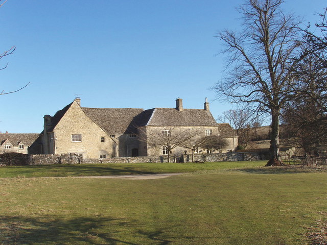
Farm in Swinbrook
View looking north from the churchyard,
 Map © Crown Copyright")
TIP: Click the map for more Large scale mapping
- Grid Square
- SP2812, 55 images (more nearby 🔍)
- Photographer
- David Hawgood (more nearby)
- Date Taken
- Wednesday, 1 March, 2006 (more nearby)
- Submitted
- Friday, 3 March, 2006
- Subject Location
-
OSGB36:
 SP 280 122 [100m precision]
WGS84: 51:48.4645N 1:35.7174W