2009
SW7445 : Station Road
taken 15 years ago, near to Chacewater, Cornwall, England
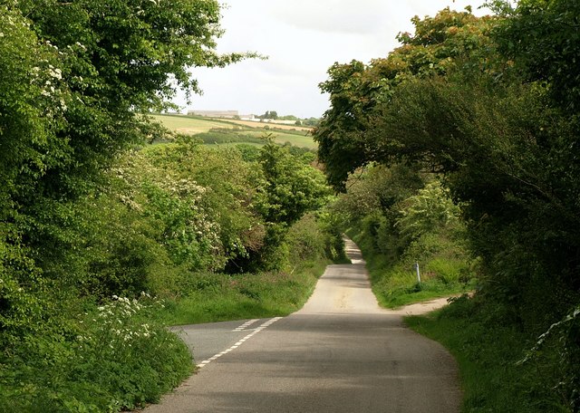
Station Road
A rural lane leading from SW7445 : The Old Chacewater Station down into the Carnon valley. The left turn here leads under SW7445 : Chacewater Viaduct and joins the road up the valley to Blackwater.
 Map © Crown Copyright")
TIP: Click the map for more Large scale mapping
- Grid Square
- SW7445, 24 images (more nearby 🔍)
- Photographer
- Derek Harper (more nearby)
- Date Taken
- Monday, 18 May, 2009 (more nearby)
- Submitted
- Friday, 22 May, 2009
- Subject Location
-
OSGB36:
 SW 7436 4517 [10m precision]
WGS84: 50:15.7981N 5:10.0393W - Camera Location
-
OSGB36: SW 7434 4518
- View Direction
- East-southeast (about 112 degrees)