2009
TL5957 : Fox's Belt
taken 15 years ago, near to Six Mile Bottom, Cambridgeshire, England
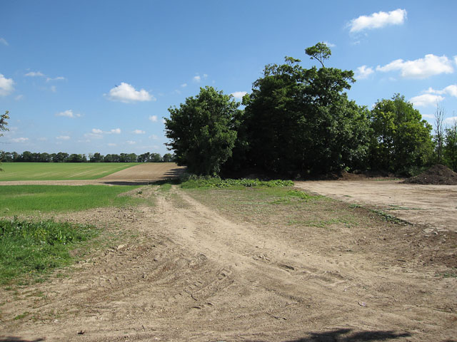
Fox's Belt
From Westley Bottom Road.
 Map © Crown Copyright")
TIP: Click the map for more Large scale mapping
- Grid Square
- TL5957, 16 images (more nearby 🔍)
- Photographer
- Hugh Venables (more nearby)
- Date Taken
- Saturday, 23 May, 2009 (more nearby)
- Submitted
- Tuesday, 26 May, 2009
- Subject Location
-
OSGB36:
 TL 597 574 [100m precision]
WGS84: 52:11.5134N 0:20.1146E - Camera Location
-
OSGB36: TL 597 573
- View Direction
- North-northeast (about 22 degrees)