2009
SN8960 : Abandoned farm below Craig y Llysiau
taken 15 years ago, near to Nant Paradwys [water Feature], Powys, Great Britain
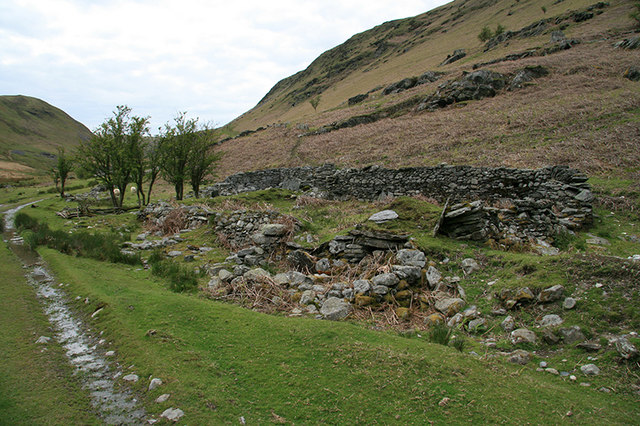
Abandoned farm below Craig y Llysiau
Ruins of an abandoned farm in the bottom of the Rhiwnant valley, beside the old mine road to Nant y Garw.
 Map © Crown Copyright")
TIP: Click the map for more Large scale mapping
- Grid Square
- SN8960, 21 images (more nearby 🔍)
- Photographer
- John Gibson (more nearby)
- Date Taken
- Saturday, 23 May, 2009 (more nearby)
- Submitted
- Tuesday, 26 May, 2009
- Subject Location
-
OSGB36:
 SN 890 609 [100m precision]
WGS84: 52:14.1040N 3:37.6103W - Camera Location
-
OSGB36: SN 890 609
- View Direction
- WEST (about 270 degrees)