2004
NS9004 : Kirk Burn
taken 20 years ago, near to Durisdeer, Dumfries And Galloway, Scotland
Kirk Burn
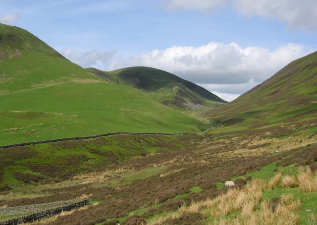
Route taken by the Roman road to Dusrisdeer. On the left hand side of the photo the earthworks of a small Roman fort can be seen.
 Map © Crown Copyright")
TIP: Click the map for more Large scale mapping
- Grid Square
- NS9004, 13 images (more nearby 🔍)
- Photographer
- Richard Webb (more nearby)
- Date Taken
- Monday, 17 May, 2004 (more nearby)
- Submitted
- Saturday, 28 May, 2005
- Subject Location
-
OSGB36:
 NS 90 04 [1000m precision]
WGS84: 55:19.3402N 3:43.6337W