2009
SE6427 : Camblesforth Field Irrigation Bore Hole and Pumping Station
taken 15 years ago, near to Camblesforth, North Yorkshire, England
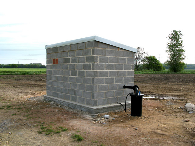
Camblesforth Field Irrigation Bore Hole and Pumping Station
 Map © Crown Copyright")
TIP: Click the map for more Large scale mapping
- Grid Square
- SE6427, 28 images (more nearby 🔍)
- Photographer
- Gordon Kneale Brooke (more nearby)
- Date Taken
- Thursday, 7 May, 2009 (more nearby)
- Submitted
- Monday, 1 June, 2009
- Subject Location
-
OSGB36:
 SE 643 271 [100m precision]
WGS84: 53:44.1961N 1:1.6020W - Camera Location
-
OSGB36: SE 642 270
- View Direction
- Northeast (about 45 degrees)