2006
NS8526 : Black Burn
taken 18 years ago, 4 km NW of Crawfordjohn, South Lanarkshire, Scotland
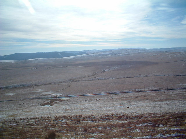
Black Burn
Moorland across the track and Black Burn
 Map © Crown Copyright")
TIP: Click the map for more Large scale mapping
- Grid Square
- NS8526, 7 images (more nearby 🔍)
- Photographer
- Chris Wimbush (more nearby)
- Date Taken
- Saturday, 4 March, 2006 (more nearby)
- Submitted
- Friday, 10 March, 2006
- Subject Location
-
OSGB36:
 NS 855 265 [100m precision]
WGS84: 55:31.1268N 3:48.9016W - Camera Location
-
OSGB36: NS 8528 2699
- View Direction
- South-southeast (about 157 degrees)