2009
TQ5064 : The Oasthouse
taken 15 years ago, near to Well Hill, Kent, England
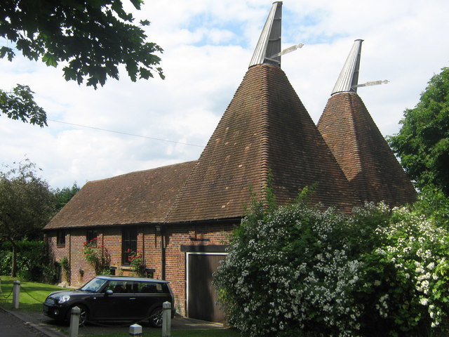
The Oasthouse
This is on Parkgate Road, leading to Lullingstone Golf Course. House is beside Park Gate House.
 Map © Crown Copyright")
TIP: Click the map for more Large scale mapping
- Grid Square
- TQ5064, 58 images (more nearby 🔍)
- Photographer
- David Anstiss (more nearby)
- Date Taken
- Thursday, 11 June, 2009 (more nearby)
- Submitted
- Thursday, 11 June, 2009
- Subject Location
-
OSGB36:
 TQ 504 646 [100m precision]
WGS84: 51:21.6649N 0:9.5999E - Camera Location
-
OSGB36: TQ 505 646
- View Direction
- Northwest (about 315 degrees)