1999
SY7076 : East Ship Channel, Portland Harbour
taken 25 years ago, 3 km from Fortuneswell, Dorset, England
This is 1 of 2 images, with title East Ship Channel, Portland Harbour in this square
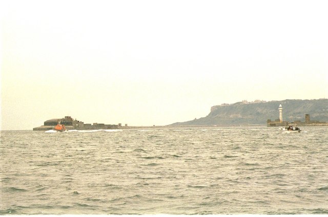
East Ship Channel, Portland Harbour
Eastern entrance to Portland Harbour from the sea, with cliffs of the Verne behind
 Map © Crown Copyright")
TIP: Click the map for more Large scale mapping
- Grid Square
- SY7076, 47 images (more nearby 🔍)
- Photographer
- Pierre Terre (more nearby)
- Date Taken
- Wednesday, 11 August, 1999 (more nearby)
- Submitted
- Saturday, 11 March, 2006
- Subject Location
-
OSGB36:
 SY 706 762 [100m precision]
WGS84: 50:35.0873N 2:24.9983W - Camera Location
-
OSGB36: SY 708 767