2009
NZ0089 : Bridge over the Hart Burn
taken 15 years ago, near to Harwood, Northumberland, England
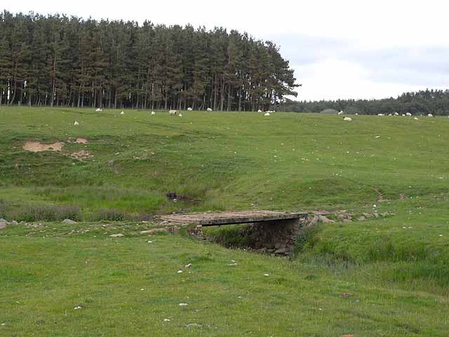
Bridge over the Hart Burn
On the St Oswald's Way Link (Archive Link ) a 156 Km long trail which runs from Heavenfield near Hexham to Holy Island on the Northumberland coast (although more commonly walked in the opposite direction). Here seen just north of Fairnley Farm, the bridge may be of recent origin as it is shown on the Pathfinder map as a ford.
 Map © Crown Copyright")
TIP: Click the map for more Large scale mapping
- Grid Square
- NZ0089, 13 images (more nearby 🔍)
- Photographer
- Oliver Dixon (more nearby)
- Date Taken
- Sunday, 14 June, 2009 (more nearby)
- Submitted
- Monday, 15 June, 2009
- Subject Location
-
OSGB36:
 NZ 004 892 [100m precision]
WGS84: 55:11.8618N 1:59.6684W - Camera Location
-
OSGB36: NZ 004 892
- View Direction
- NORTH (about 0 degrees)