2009
NZ0089 : Farm buildings at Fairnley
taken 15 years ago, near to Harwood, Northumberland, England
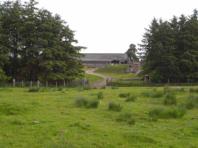
Farm buildings at Fairnley
 Map © Crown Copyright")
TIP: Click the map for more Large scale mapping
- Grid Square
- NZ0089, 13 images (more nearby 🔍)
- Photographer
- Oliver Dixon (more nearby)
- Date Taken
- Sunday, 14 June, 2009 (more nearby)
- Submitted
- Monday, 15 June, 2009
- Subject Location
-
OSGB36:
 NZ 004 890 [100m precision]
WGS84: 55:11.7270N 1:59.6684W - Camera Location
-
OSGB36: NZ 003 891
- View Direction
- Southeast (about 135 degrees)