2006

NT0334 : Farmland, East Mains

taken 18 years ago, near to Coulter, South Lanarkshire, Scotland

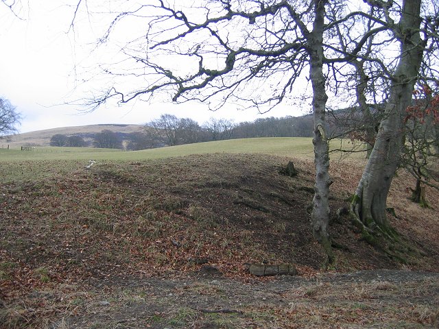
Farmland, East Mains.
Lower slopes of Shaw Hill.

Creative Commons Licence [Some Rights Reserved]   © Copyright Richard Webb and licensed for reuse under this Creative Commons Licence.
Category: Farmland
This photo is linked from: Automatic Clusters: · East Mains [8] · Farmland [4] · Lower Slopes of Shaw Hill [3] ·
1:50,000 Modern Day Landranger(TM) Map © Crown Copyright
+
1:50,000 Modern Day Landranger(TM) Map © Crown Copyright
TIP: Click the map for more Large scale mapping
Grid Square
NT0334, 19 images   (more nearby 🔍)
Photographer
Richard Webb   (more nearby)
Date Taken
Saturday, 11 March, 2006   (more nearby)
Submitted
Saturday, 11 March, 2006
Subject Location
OSGB36: geotagged! NT 034 346 [100m precision]
WGS84: 55:35.7245N 3:32.0689W
Clickable map
+
NW N NE
W Go E
SW S SE
Image classification(about): Geograph (First for NT0334) · First in 5 Years (TPoint) (about)
This page has been viewed about 36 times
You are not logged in login | register