2009
NN8257 : The forest above the Frenich burn
taken 15 years ago, 3 km from Tressait, Perth And Kinross, Scotland
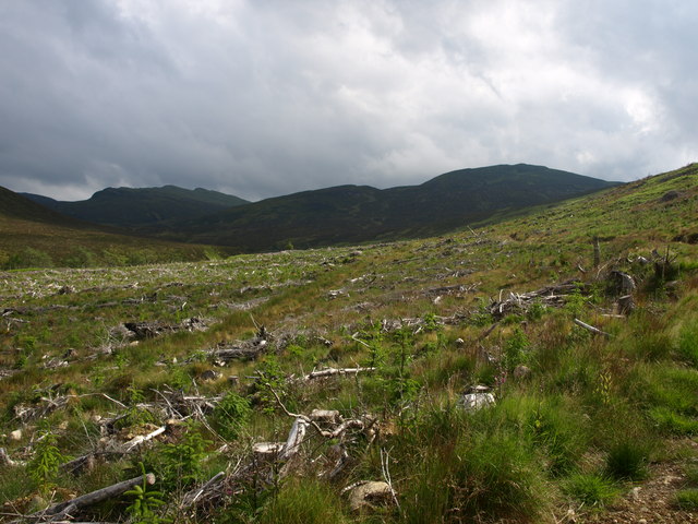
The forest above the Frenich burn.
The new plantings on the west side of the Frenich burn. The OS map shows a large chunk of forestry. Which has been cleared and replaced so I suppose it will be true in a few years and they don't need to update it in between times.
 Map © Crown Copyright")
TIP: Click the map for more Large scale mapping
- Grid Square
- NN8257, 3 images (more nearby 🔍)
- Photographer
- PeterJG1970 (more nearby)
- Date Taken
- Tuesday, 16 June, 2009 (more nearby)
- Submitted
- Wednesday, 17 June, 2009
- Subject Location
-
OSGB36:
 NN 822 573 [100m precision]
WGS84: 56:41.5691N 3:55.4144W - Camera Location
-
OSGB36: NN 823 574
- View Direction
- Southwest (about 225 degrees)