2009
SJ7606 : Monarch's Way, aka Bonemill Lane
taken 15 years ago, 3 km from Shifnal, Shropshire, England
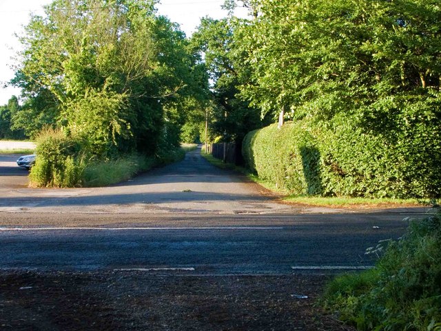
Monarch's Way, aka Bonemill Lane
This long distance walking route crosses the A464 here, by SJ7606 : Cafe Monsoon.
See SJ7606 : Monarch's Way, looking south-west for more details.
See SJ7606 : Monarch's Way, looking south-west for more details.
 Map © Crown Copyright")
TIP: Click the map for more Large scale mapping
- Grid Square
- SJ7606, 18 images (more nearby 🔍)
- Photographer
- Mike White (more nearby)
- Date Taken
- Wednesday, 17 June, 2009 (more nearby)
- Submitted
- Wednesday, 17 June, 2009
- Subject Location
-
OSGB36:
 SJ 767 061 [100m precision]
WGS84: 52:39.1329N 2:20.7246W - Camera Location
-
OSGB36: SJ 766 060
- View Direction
- Northeast (about 45 degrees)