2009
NZ2199 : Footpath near The Shaw
taken 15 years ago, near to East Thirston, Northumberland, England
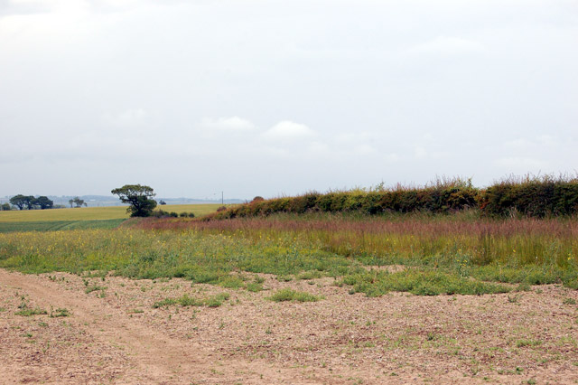
Footpath near The Shaw
Looking west along the public footpath which runs through The Shaw, a large farm in the southwest corner of this grid square.
 Map © Crown Copyright")
TIP: Click the map for more Large scale mapping
- Grid Square
- NZ2199, 15 images (more nearby 🔍)
- Photographer
- Andy F (more nearby)
- Date Taken
- Sunday, 14 June, 2009 (more nearby)
- Submitted
- Saturday, 20 June, 2009
- Subject Location
-
OSGB36:
 NZ 210 990 [100m precision]
WGS84: 55:17.1296N 1:40.2361W - Camera Location
-
OSGB36: NZ 210 990
- View Direction
- WEST (about 270 degrees)