2006
NY7749 : Appletree Shield
taken 18 years ago, 4 km NW of Carr Shield, Northumberland, England
This is 1 of 6 images, with title Appletree Shield in this square
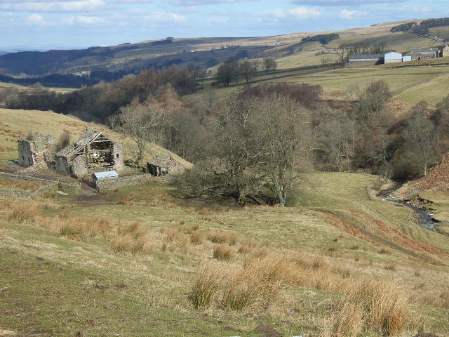
Appletree Shield
Hesleywell is the farm on the other side of the wooded valley of Wellhope Burn.
 Map © Crown Copyright")
TIP: Click the map for more Large scale mapping
- Grid Square
- NY7749, 24 images (more nearby 🔍)
- Photographer
- Andrew Smith (more nearby)
- Date Taken
- Monday, 6 March, 2006 (more nearby)
- Submitted
- Monday, 13 March, 2006
- Subject Location
-
OSGB36:
 NY 773 498 [100m precision]
WGS84: 54:50.5496N 2:21.2997W - Camera Location
-
OSGB36: NY 773 496