2006
NY8779 : Birtley Shield Farmhouse
taken 18 years ago, near to Birtley, Northumberland, England
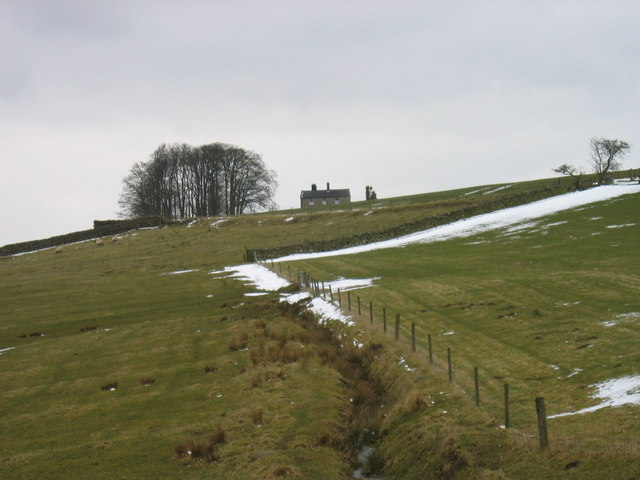
Birtley Shield Farmhouse
 Map © Crown Copyright")
TIP: Click the map for more Large scale mapping
- Grid Square
- NY8779, 32 images (more nearby 🔍)
- Photographer
- Les Hull (more nearby)
- Date Taken
- Wednesday, 15 March, 2006 (more nearby)
- Submitted
- Wednesday, 15 March, 2006
- Subject Location
-
OSGB36:
 NY 870 791 [100m precision]
WGS84: 55:6.3681N 2:12.3177W - Camera Location
-
OSGB36: NY 868 787