2008
SD7087 : No through road in Dent
taken 16 years ago, near to Dent, Cumbria, England
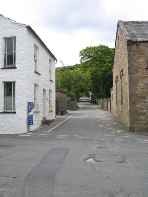
No through road in Dent
This road soons becomes Flinter Ghyll Outrake, a rough bridleway alongside Flinter Ghyll up to South Lord's Land. Main Street is to the left here and Laning is to the right.
 Map © Crown Copyright")
TIP: Click the map for more Large scale mapping
- Grid Square
- SD7087, 236 images (more nearby 🔍)
- Photographer
- John S Turner (more nearby)
- Date Taken
- Tuesday, 17 June, 2008 (more nearby)
- Submitted
- Sunday, 28 June, 2009
- Subject Location
-
OSGB36:
 SD 7043 8703 [10m precision]
WGS84: 54:16.6830N 2:27.3378W - Camera Location
-
OSGB36: SD 7044 8705
- View Direction
- South-southwest (about 202 degrees)