2009
NG2041 : Unnamed burn in Coire Mhic Mhicheil
taken 15 years ago, near to Coire Mhic Mhìcheil [hill or Mountain], Highland, Great Britain
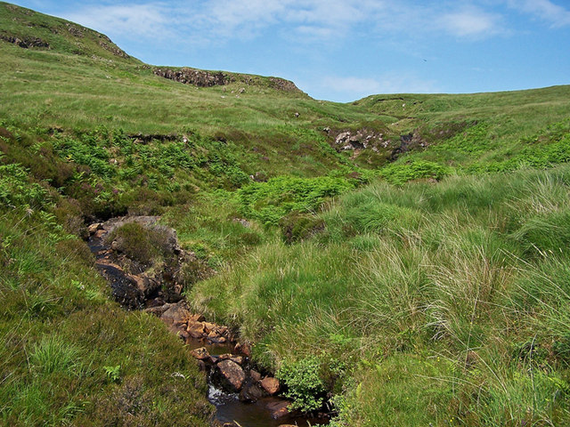
Unnamed burn in Coire Mhic Mhicheil
The burn is a tributary of the Dibidal River.
 Map © Crown Copyright")
TIP: Click the map for more Large scale mapping
- Grid Square
- NG2041, 5 images (more nearby 🔍)
- Photographer
- Richard Dorrell (more nearby)
- Date Taken
- Monday, 29 June, 2009 (more nearby)
- Submitted
- Tuesday, 30 June, 2009
- Subject Location
-
OSGB36:
 NG 208 413 [100m precision]
WGS84: 57:22.5838N 6:38.7999W - Camera Location
-
OSGB36: NG 207 412
- View Direction
- North-northeast (about 22 degrees)