2006
SW7656 : Blowout on Penhale Sands
taken 18 years ago, near to Mount, Cornwall, England
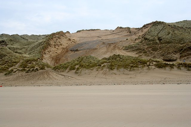
Blowout on Penhale Sands
The low cliffs on the northern half of Perran Sands are completely covered by the dunes of Penhale Sands except in a few places such as here where the blowout has exposed the cliff top.
 Map © Crown Copyright")
TIP: Click the map for more Large scale mapping
- Grid Square
- SW7656, 41 images (more nearby 🔍)
- Photographer
- Tony Atkin (more nearby)
- Date Taken
- Thursday, 16 March, 2006 (more nearby)
- Submitted
- Saturday, 18 March, 2006
- Subject Location
-
OSGB36:
 SW 762 565 [100m precision]
WGS84: 50:21.9445N 5:8.8958W - Camera Location
-
OSGB36: SW 760 566