2006
SU5628 : Looking North East from the end of Honey Lane
taken 18 years ago, near to Cheriton, Hampshire, England
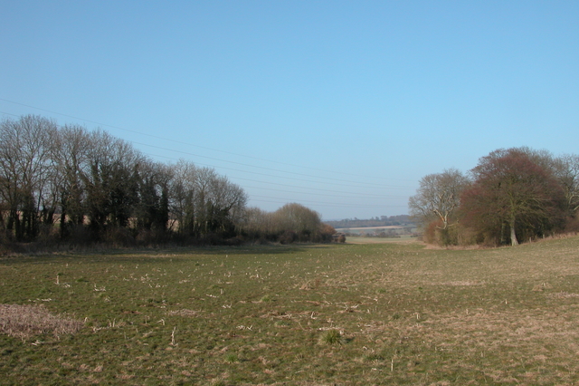
Looking North East from the end of Honey Lane.
The boundary with SU5728 crosses the field in the middle distance (about where the trees start on the right).
 Map © Crown Copyright")
TIP: Click the map for more Large scale mapping
- Grid Square
- SU5628, 19 images (more nearby 🔍)
- Photographer
- Martyn Pattison (more nearby)
- Date Taken
- Saturday, 18 March, 2006 (more nearby)
- Submitted
- Saturday, 18 March, 2006
- Subject Location
-
OSGB36:
 SU 56967 28418 [1m precision]
WGS84: 51:3.1375N 1:11.3180W