2006
TA0768 : Farmland on the B1253
taken 18 years ago, near to Rudston, East Riding of Yorkshire, England
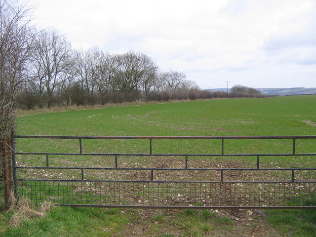
Farmland on the B1253
View north from the road junction.
 Map © Crown Copyright")
TIP: Click the map for more Large scale mapping
- Grid Square
- TA0768, 24 images (more nearby 🔍)
- Photographer
- Stephen Horncastle (more nearby)
- Date Taken
- Saturday, 18 March, 2006 (more nearby)
- Submitted
- Monday, 20 March, 2006
- Subject Location
-
OSGB36:
 TA 073 687 [100m precision]
WGS84: 54:6.1805N 0:21.6294W - Camera Location
-
OSGB36: TA 07312 68567