2006
ST8165 : Farmland near Monkton Farleigh
taken 18 years ago, near to Monkton Farleigh, Wiltshire, England
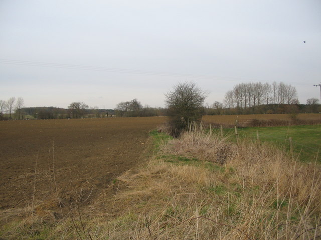
Farmland near Monkton Farleigh
A view looking north over farmland towards Kingsdown, from the minor road between Monkton Farleigh and South Wraxall. There were two pheasants in the hedgerow but the camera delay meant only one is visible in the photo.
 Map © Crown Copyright")
TIP: Click the map for more Large scale mapping
- Grid Square
- ST8165, 5 images (more nearby 🔍)
- Photographer
- Phil Williams (more nearby)
- Date Taken
- Wednesday, 22 March, 2006 (more nearby)
- Submitted
- Thursday, 23 March, 2006
- Subject Location
-
OSGB36:
 ST 811 650 [100m precision]
WGS84: 51:23.0237N 2:16.3784W