2006
TQ8691 : Eastbury Avenue, Rochford
taken 18 years ago, near to Rochford, Essex, England
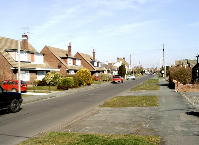
Eastbury Avenue, Rochford
From the early 1950s onward residential development began to cover the parts of the gridsquare to the north-east of the Southend Victoria to Shenfield railway following its electrification. Chalet-type houses such as these are typical of the area. Taken near the junction with Parklands looking north.
 Map © Crown Copyright")
TIP: Click the map for more Large scale mapping
- Grid Square
- TQ8691, 22 images (more nearby 🔍)
- Photographer
- David Kemp (more nearby)
- Date Taken
- Thursday, 23 March, 2006 (more nearby)
- Submitted
- Thursday, 23 March, 2006
- Subject Location
-
OSGB36:
 TQ 866 917 [100m precision]
WGS84: 51:35.5943N 0:41.5511E - Camera Location
-
OSGB36: TQ 866 916