2006
SP8959 : Ruined Farm Buildings
taken 18 years ago, near to Easton Maudit, North Northamptonshire, England
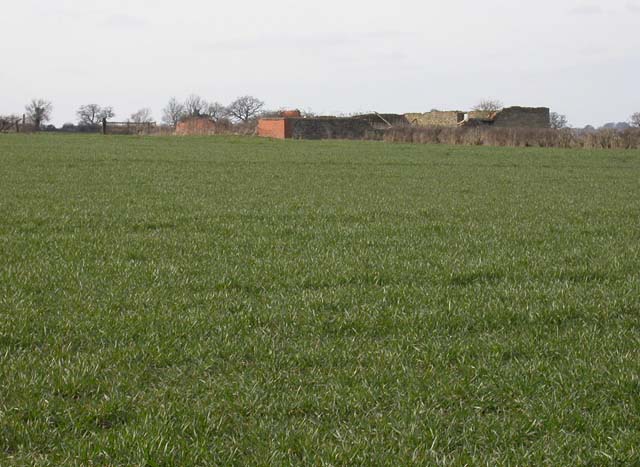
Ruined Farm Buildings
View north-west from an unrestored footpath.
 Map © Crown Copyright")
TIP: Click the map for more Large scale mapping
- Grid Square
- SP8959, 7 images (more nearby 🔍)
- Photographer
- Kokai (more nearby)
- Date Taken
- Wednesday, 22 March, 2006 (more nearby)
- Submitted
- Thursday, 23 March, 2006
- Subject Location
-
OSGB36:
 SP 890 597 [100m precision]
WGS84: 52:13.6992N 0:41.9021W - Camera Location
-
OSGB36: SP 89132 59616