2005
NO4839 : Barley fields south of Husbandtown
taken 19 years ago, near to Monikie, Angus, Scotland
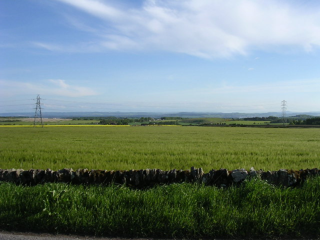
Barley fields south of Husbandtown
The view looks south from the minor road towards the pylons in the south of the grid box.
 Map © Crown Copyright")
TIP: Click the map for more Large scale mapping
- Grid Square
- NO4839, 14 images (more nearby 🔍)
- Photographer
- Val Vannet (more nearby)
- Date Taken
- Tuesday, 31 May, 2005 (more nearby)
- Submitted
- Tuesday, 31 May, 2005
- Subject Location
-
OSGB36:
 NO 48 39 [1000m precision]
WGS84: 56:32.6795N 2:50.3494W