2006
SU3326 : Barns west of Michelmersh
taken 18 years ago, near to Michelmersh, Hampshire, England
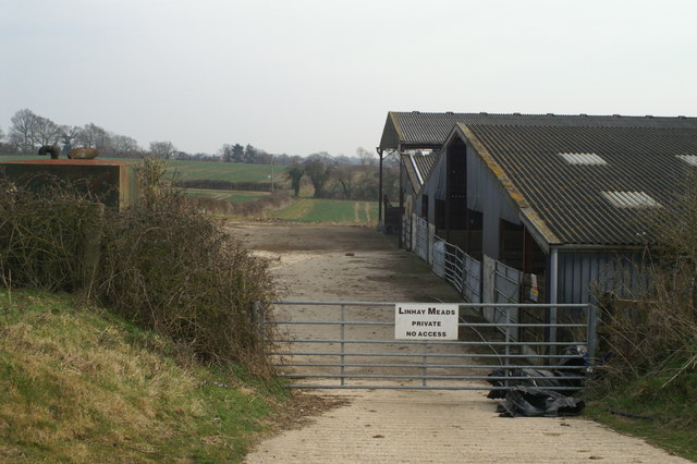
Barns west of Michelmersh
Despite the sign this is not Linhay Meads, which is down in the valley at SU3325
 Map © Crown Copyright")
TIP: Click the map for more Large scale mapping
- Grid Square
- SU3326, 26 images (more nearby 🔍)
- Photographer
- Pierre Terre (more nearby)
- Date Taken
- Thursday, 23 March, 2006 (more nearby)
- Submitted
- Friday, 24 March, 2006
- Subject Location
-
OSGB36:
 SU 338 261 [100m precision]
WGS84: 51:1.9964N 1:31.1612W