2009
TM4160 : Mill Road at Friston Crossroads
taken 15 years ago, near to Friston, Suffolk, England
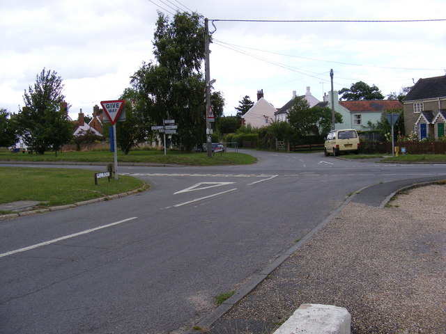
Mill Road at Friston Crossroads
At the junction with the B1121 Saxmundham/Aldeburgh Road
 Map © Crown Copyright")
TIP: Click the map for more Large scale mapping
- Grid Square
- TM4160, 233 images (more nearby 🔍)
- Photographer
- Geographer (more nearby)
- Date Taken
- Monday, 20 July, 2009 (more nearby)
- Submitted
- Monday, 10 August, 2009
- Subject Location
-
OSGB36:
 TM 4126 6021 [10m precision]
WGS84: 52:11.2392N 1:31.6860E - Camera Location
-
OSGB36: TM 4126 6021
- View Direction
- Northeast (about 45 degrees)