2006
H4372 : Culmore old Primary School
taken 18 years ago, near to Omagh, Co Tyrone, Northern Ireland
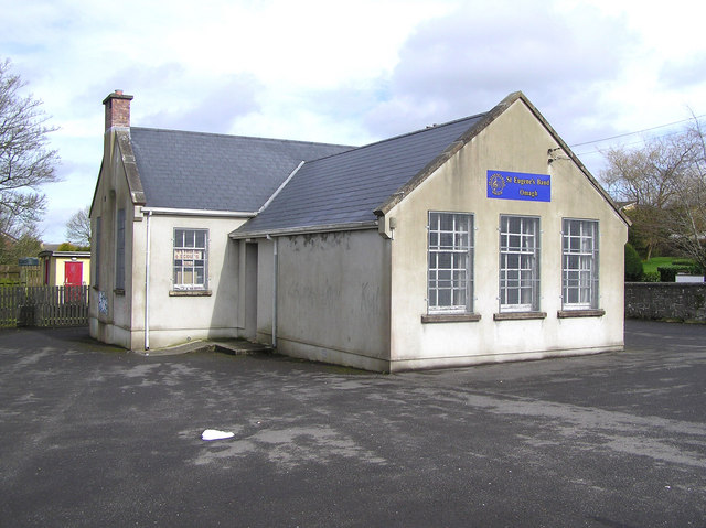
Culmore old Primary School
It is located on the Tamlaght Road and is now used by St Eugene's band. Link (Archive Link )
Loading map... (JavaScript required)
- Grid Square
- H4372, 191 images (more nearby 🔍)
- Photographer
- Kenneth Allen (more nearby)
- Date Taken
- Friday, 31 March, 2006 (more nearby)
- Submitted
- Friday, 31 March, 2006
- Subject Location
-
Irish:
 H 437 721 [100m precision]
WGS84: 54:35.7158N 7:19.4808W - Camera Location
-
Irish: H 437 721
- View Direction
- Northeast (about 45 degrees)