2009
NT0216 : View SE from close to the summit of Clyde Law
taken 15 years ago, 4 km N of Nether Howecleuch, Dumfries And Galloway, Scotland
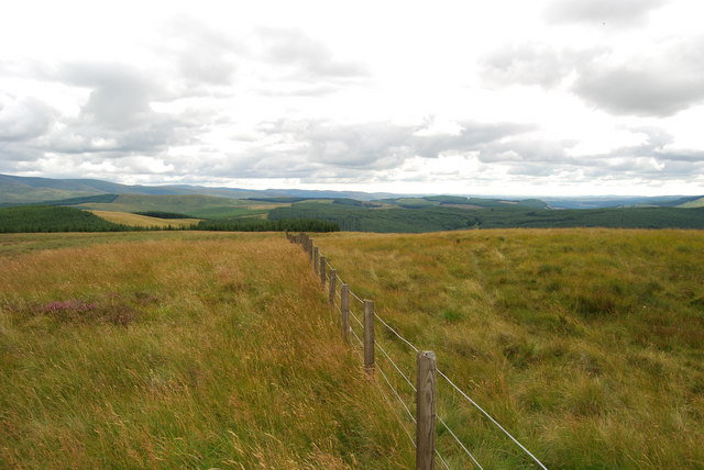
View SE from close to the summit of Clyde Law
Blanket afforestation on the Dumfriesshire/Peeblesshire boundary.
 Map © Crown Copyright")
TIP: Click the map for more Large scale mapping
- Grid Square
- NT0216, 7 images (more nearby 🔍)
- Photographer
- Thomas Dick (more nearby)
- Date Taken
- Thursday, 13 August, 2009 (more nearby)
- Submitted
- Monday, 17 August, 2009
- Subject Location
-
OSGB36:
 NT 028 167 [100m precision]
WGS84: 55:26.0925N 3:32.2258W - Camera Location
-
OSGB36: NT 027 169
- View Direction
- South-southeast (about 157 degrees)