2009
NC1018 : River Kirkaig from the stalkers path
taken 15 years ago, 3 km from Inverkirkaig, Highland, Scotland
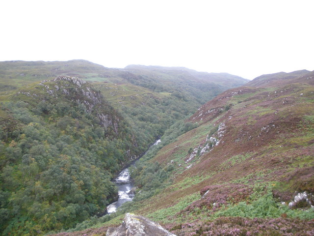
River Kirkaig from the stalkers path
 Map © Crown Copyright")
TIP: Click the map for more Large scale mapping
- Grid Square
- NC1018, 15 images (more nearby 🔍)
- Photographer
- John Ferguson (more nearby)
- Date Taken
- Sunday, 16 August, 2009 (more nearby)
- Submitted
- Tuesday, 18 August, 2009
- Subject Location
-
OSGB36:
 NC 102 182 [100m precision]
WGS84: 58:6.7551N 5:13.3773W - Camera Location
-
OSGB36: NC 106 182
- View Direction
- WEST (about 270 degrees)