2009
SX5559 : Lower Hooksburry Wood
taken 15 years ago, near to Drakeland Corner, Devon, England
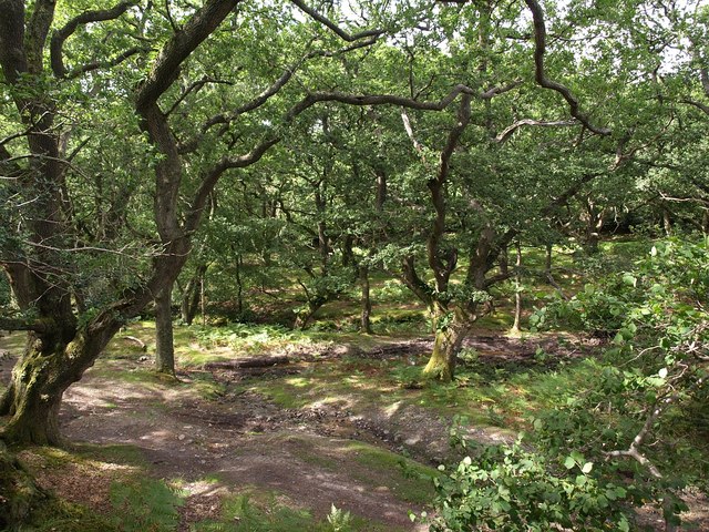
Lower Hooksburry Wood
A tongue of oak woodland climbing a tributary valley of the Tory Brook valley, and forming a western corner of an area of access land on the western side of Crownhill Down.
 Map © Crown Copyright")
TIP: Click the map for more Large scale mapping
- Grid Square
- SX5559, 10 images (more nearby 🔍)
- Photographer
- Derek Harper (more nearby)
- Date Taken
- Thursday, 20 August, 2009 (more nearby)
- Submitted
- Tuesday, 25 August, 2009
- Subject Location
-
OSGB36:
 SX 558 593 [100m precision]
WGS84: 50:24.9491N 4:1.8609W - Camera Location
-
OSGB36: SX 5588 5934
- View Direction
- WEST (about 270 degrees)