2006
TR1065 : Borstal Hill, Whitstable
taken 18 years ago, near to Clapham Hill, Kent, England
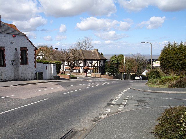
Borstal Hill, Whitstable
Junctions with Millers Close (where TR1065 : Whitstable windmill stands) and Grimthorpe Avenue on the left. Views in the distance across the Thames Estuary to Essex.
 Map © Crown Copyright")
TIP: Click the map for more Large scale mapping
- Grid Square
- TR1065, 124 images (more nearby 🔍)
- Photographer
- Penny Mayes (more nearby)
- Date Taken
- Saturday, 1 April, 2006 (more nearby)
- Submitted
- Monday, 3 April, 2006
- Subject Location
-
OSGB36:
 TR 104 651 [100m precision]
WGS84: 51:20.7613N 1:1.1884E - Camera Location
-
OSGB36: TR 105 650
- View Direction
- Northwest (about 315 degrees)