2009
TL5467 : Drainage ditch looking north-east
taken 15 years ago, near to River Bank, Cambridgeshire, England
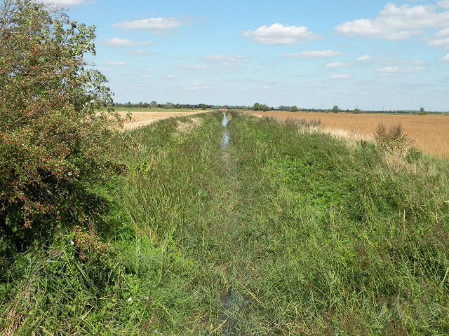
Drainage ditch looking north-east
The same as seen in TL5466 : Drainage ditch looking north-east. It flows into the Commissioners' Drain which gets mixed up in the Reach Lode / River Cam junction at Upware
 Map © Crown Copyright")
TIP: Click the map for more Large scale mapping
- Grid Square
- TL5467, 34 images (more nearby 🔍)
- Photographer
- Keith Edkins (more nearby)
- Date Taken
- Thursday, 27 August, 2009 (more nearby)
- Submitted
- Friday, 28 August, 2009
- Subject Location
-
OSGB36:
 TL 5445 6703 [10m precision]
WGS84: 52:16.7831N 0:15.7558E - Camera Location
-
OSGB36: TL 5443 6701
- View Direction
- Northeast (about 45 degrees)