2009
SH6704 : North western slopes of Tarrenhendre
taken 15 years ago, 3 km from Abergynolwyn, Gwynedd, Wales
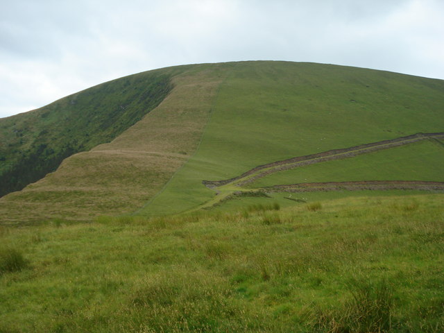
North western slopes of Tarrenhendre
The junction of the two paths shown on the map can be clearly seen in the middle ground. The summit of Tarrenhendre is out of sight at the top of the convex slope of the mountain.
 Map © Crown Copyright")
TIP: Click the map for more Large scale mapping
- Grid Square
- SH6704, 8 images (more nearby 🔍)
- Photographer
- Bill Rowley (more nearby)
- Date Taken
- Saturday, 4 July, 2009 (more nearby)
- Submitted
- Sunday, 30 August, 2009
- Subject Location
-
OSGB36:
 SH 679 045 [100m precision]
WGS84: 52:37.3568N 3:57.1032W - Camera Location
-
OSGB36: SH 677 048
- View Direction
- Southeast (about 135 degrees)