2009
TR0851 : Footpath in Down Wood
taken 15 years ago, near to Chilham, Kent, England
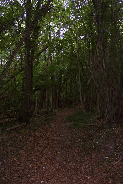
Footpath in Down Wood
This path leads from Denge Wood downhill towards the Stour Valley Walk (long distance path) between Thruxted Mill and Chilham.
 Map © Crown Copyright")
TIP: Click the map for more Large scale mapping
- Grid Square
- TR0851, 100 images (more nearby 🔍)
- Photographer
- David Anstiss (more nearby)
- Date Taken
- Sunday, 13 September, 2009 (more nearby)
- Submitted
- Monday, 14 September, 2009
- Subject Location
-
OSGB36:
 TR 086 519 [100m precision]
WGS84: 51:13.7254N 0:59.2401E - Camera Location
-
OSGB36: TR 087 519
- View Direction
- West-northwest (about 292 degrees)