2009
NN3647 : Estate road, Tom na Pàirce
taken 15 years ago, near to Tom na Pàirce [other Features], Argyll And Bute, Great Britain
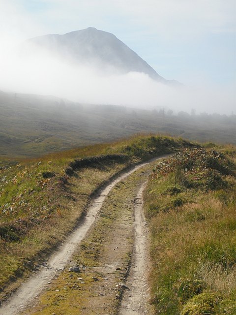
Estate road, Tom na Pàirce
The road up the Water of Tulla to Rowantree Cottage uses the extensive glacial deposits to avoid bogs. Here it is running along an kame with Beinn Achallader emerging from clearing fog. Kames, also known as eskers are long sinuous ridges of sand or gravel left behind by rivers flowing through icecaps.
 Map © Crown Copyright")
TIP: Click the map for more Large scale mapping
- Grid Square
- NN3647, 8 images (more nearby 🔍)
- Photographer
- Richard Webb (more nearby)
- Date Taken
- Saturday, 12 September, 2009 (more nearby)
- Submitted
- Tuesday, 15 September, 2009
- Subject Location
-
OSGB36:
 NN 365 475 [100m precision]
WGS84: 56:35.4669N 4:39.7951W - Camera Location
-
OSGB36: NN 365 475
- View Direction
- Southwest (about 225 degrees)