2009
SS7738 : Flood plain in the River Barle valley
taken 15 years ago, near to Simonsbath, Somerset, England
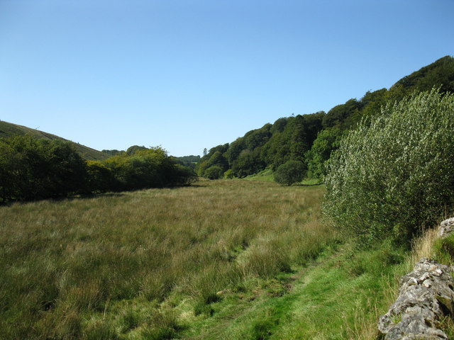
Flood plain in the River Barle valley
This is a view taken from the Two Moors Way
 Map © Crown Copyright")
TIP: Click the map for more Large scale mapping
- Grid Square
- SS7738, 16 images (more nearby 🔍)
- Photographer
- don cload (more nearby)
- Date Taken
- Thursday, 10 September, 2009 (more nearby)
- Submitted
- Tuesday, 15 September, 2009
- Subject Location
-
OSGB36:
 SS 776 388 [100m precision]
WGS84: 51:8.1701N 3:45.0171W - Camera Location
-
OSGB36: SS 778 388
- View Direction
- West-northwest (about 292 degrees)