2009
SN9394 : Blaencerniog and Bryn y Gadair
taken 15 years ago, 3 km from Llawr-y-Glyn, Powys, Wales
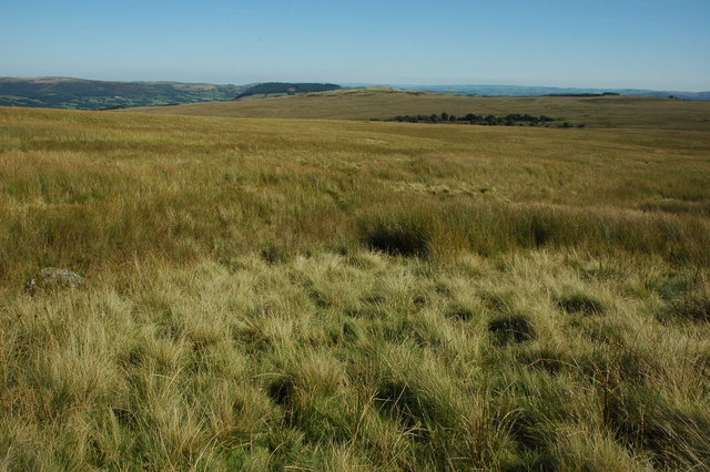
Blaencerniog and Bryn y Gadair
View across open rough grazing of Blaencerniog and Bryn y Gadair to the south of Carno.
 Map © Crown Copyright")
TIP: Click the map for more Large scale mapping
- Grid Square
- SN9394 (more nearby 🔍)
- Photographer
- Philip Halling (more nearby)
- Date Taken
- Saturday, 12 September, 2009 (more nearby)
- Submitted
- Tuesday, 15 September, 2009
- Subject Location
-
OSGB36:
 SN 935 942 [100m precision]
WGS84: 52:32.1460N 3:34.2420W - Camera Location
-
OSGB36: SN 934 942
- View Direction
- EAST (about 90 degrees)