2006
NU2701 : Low Hall
taken 18 years ago, near to Radcliffe, Northumberland, England
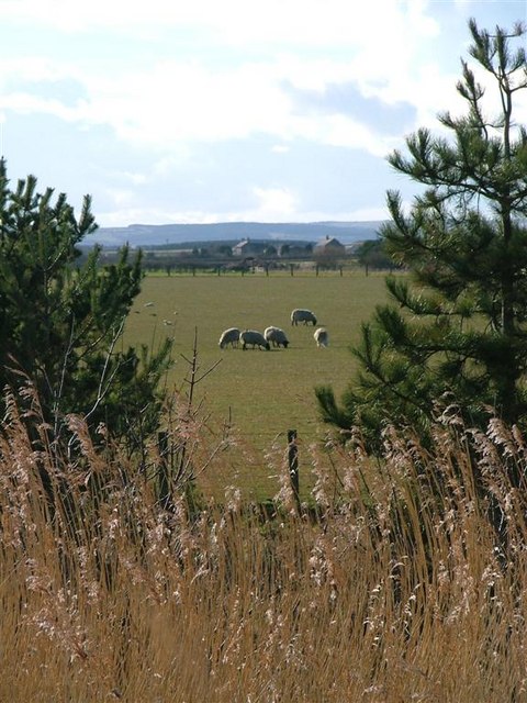
Low Hall
taken from the Togston Links Road.
 Map © Crown Copyright")
TIP: Click the map for more Large scale mapping
- Grid Square
- NU2701, 23 images (more nearby 🔍)
- Photographer
- Mick Garratt (more nearby)
- Date Taken
- Saturday, 8 April, 2006 (more nearby)
- Submitted
- Sunday, 9 April, 2006
- Subject Location
-
OSGB36:
 NU 272 014 [100m precision]
WGS84: 55:18.3569N 1:34.3849W - Camera Location
-
OSGB36: NU 279 011
- View Direction
- Northwest (about 315 degrees)