2009
SP0037 : Footpath to the A46
taken 15 years ago, near to Ashton Under Hill, Worcestershire, England
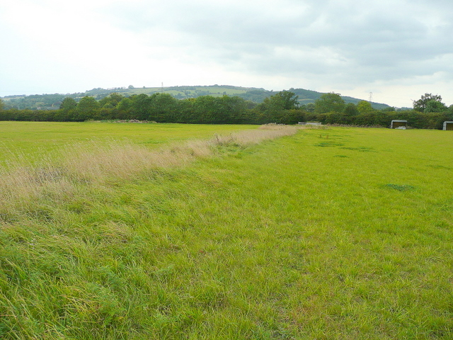
Footpath to the A46
Looking north-west with Bredon Hill in the distance.
 Map © Crown Copyright")
TIP: Click the map for more Large scale mapping
- Grid Square
- SP0037, 18 images (more nearby 🔍)
- Photographer
- Jonathan Billinger (more nearby)
- Date Taken
- Tuesday, 15 September, 2009 (more nearby)
- Submitted
- Thursday, 17 September, 2009
- Subject Location
-
OSGB36:
 SP 008 377 [100m precision]
WGS84: 52:2.2891N 1:59.3412W - Camera Location
-
OSGB36: SP 009 377
- View Direction
- Northwest (about 315 degrees)