2009
HP6717 : A rock south-east of Outer Flaess
taken 15 years ago, 4 km NNE of Norwick, Unst, Shetland Islands, Scotland
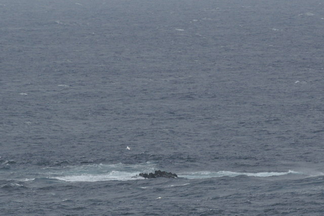
A rock south-east of Outer Flaess
One of about four rocks in this square which are above water at low tide according to the 1:25,000 maps.
 Map © Crown Copyright")
TIP: Click the map for more Large scale mapping
- Grid Square
- HP6717, 4 images (more nearby 🔍)
- Photographer
- Mike Pennington (more nearby)
- Date Taken
- Saturday, 19 September, 2009 (more nearby)
- Submitted
- Saturday, 19 September, 2009
- Subject Location
-
OSGB36:
 HP 670 175 [100m precision]
WGS84: 60:50.0921N 0:46.1122W - Camera Location
-
OSGB36: HP 662 170
- View Direction
- East-northeast (about 67 degrees)