2009
NT9104 : Millstone rough-outs, Harbottle Lake
taken 15 years ago, near to Harbottle, Northumberland, England
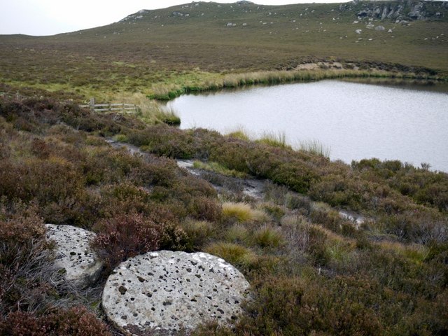
Millstone rough-outs, Harbottle Lake
These stones are abandoned by the path that descends to Harbottle close by the Drake Stone, probably the original route used by the millstone quarries further to the west.
These millstone 'rough-outs' or 'blanks' do not have the central eye cut unlike that shown in NT9104 : Old millstone quarry, Millstone Edge
These millstone 'rough-outs' or 'blanks' do not have the central eye cut unlike that shown in NT9104 : Old millstone quarry, Millstone Edge
 Map © Crown Copyright")
TIP: Click the map for more Large scale mapping
- Grid Square
- NT9104, 41 images (more nearby 🔍)
- Photographer
- Andrew Curtis (more nearby)
- Date Taken
- Friday, 18 September, 2009 (more nearby)
- Submitted
- Saturday, 19 September, 2009
- Subject Location
-
OSGB36:
 NT 918 043 [100m precision]
WGS84: 55:19.9771N 2:7.8388W - Camera Location
-
OSGB36: NT 918 043
- View Direction
- South-southeast (about 157 degrees)