2009
SH6355 : The south-eastern slopes of Grib-Goch from the Pyg Track
taken 15 years ago, 5 km SE of Nant Peris, Gwynedd, Wales
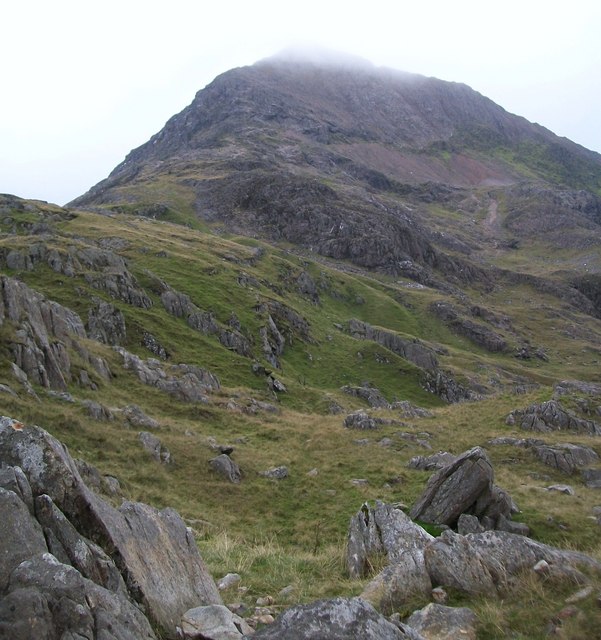
The south-eastern slopes of Grib-Goch from the Pyg Track
 Map © Crown Copyright")
TIP: Click the map for more Large scale mapping
- Grid Square
- SH6355, 88 images (more nearby 🔍)
- Photographer
- Eric Jones (more nearby)
- Date Taken
- Monday, 14 September, 2009 (more nearby)
- Submitted
- Saturday, 19 September, 2009
- Subject Location
-
OSGB36:
 SH 636 554 [100m precision]
WGS84: 53:4.7345N 4:2.2081W - Camera Location
-
OSGB36: SH 639 553
- View Direction
- West-northwest (about 292 degrees)