2009
NT2059 : The road to Silverburn
taken 15 years ago, near to Silverburn, Midlothian, Scotland
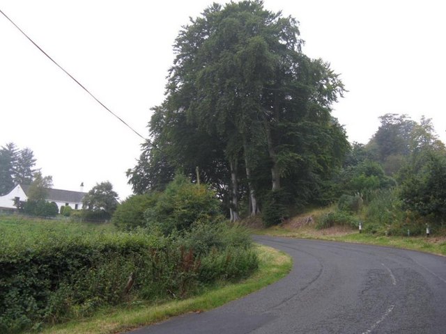
The road to Silverburn
A link between the A766 and A702.
 Map © Crown Copyright")
TIP: Click the map for more Large scale mapping
- Grid Square
- NT2059, 12 images (more nearby 🔍)
- Photographer
- M J Richardson (more nearby)
- Date Taken
- Saturday, 19 September, 2009 (more nearby)
- Submitted
- Sunday, 20 September, 2009
- Subject Location
-
OSGB36:
 NT 207 599 [100m precision]
WGS84: 55:49.5490N 3:15.9658W - Camera Location
-
OSGB36: NT 208 598
- View Direction
- West-northwest (about 292 degrees)